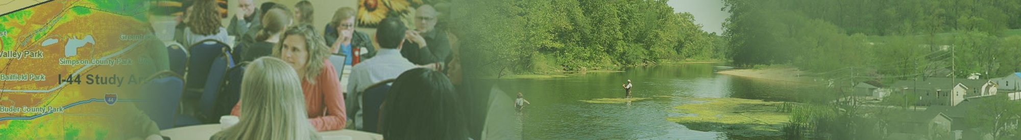
The Ecological Initiative
The Ecological Approach to Infrastructure Development (Ecological Initiative) focuses on the region’s ecologically significant natural resources, while using mapping technology to help better inform transportation planning decisions. The resulting datasets provide environmental data for conservation, mitigation, and restoration, as well as useful information on the location and extent of ecologically significant areas. Consultation with resource agencies is a core component of the Ecological Initiative and was key to the development of science-based, defensible ecological significance datasets that reflected input from all the resource management and regulatory agencies involved.
The Ecological Initiative makes information on conservation and restoration priorities available to metropolitan planning organizations, state departments of transportation, and local governments, allowing these agencies and jurisdictions to more readily incorporate the consideration of environmental factors into the transportation planning process.
Current Projects
Learn more about some of East-West Gateway Council of Government’s (EWG) current work with the Ecological Initiative:
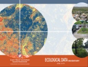 Ecological Data Inventory
The Ecological Data Inventory is a catalog of existing geospatial datasets that are available to the public at no cost. This report seeks to highlight a variety of ecological data developments undertaken by EWG and its local, regional, state, and federal partners. The goal of this report is to make these resources more accessible to regional stakeholders and the general public at large. The data presented in this inventory is intended for use in Geographic Information System (GIS) software such as Esri’s ArcGIS products or the free, open source QGIS application. GIS software allows users to combine a variety of geospatial data layers to create maps, perform database queries and analyze features of the landscape. However, in this document format anyone can visually assess the datasets and consider partnering with GIS users to apply the information to their own ecological planning challenges.
- Ecological Data Inventory Appendix – a pdf file of links where the data can be downloaded
Datasets and Reports
These 10-meter regional land cover and ecological significance datasets offer improved detail on vegetation types in urban, suburban, and rural areas, and provides a ranking mechanism for areas of high ecological value.
This one-meter Urban Land Cover dataset provides a closer look at conditions in developed areas of the St. Louis region in seven basic categories. This dataset is for areas of developed land (Urbanized Areas) across the entirety of the St. Louis metropolitan area.
These 10-meter regional land cover and ecological significance datasets offer improved detail on vegetation types in urban, suburban, and rural areas, and provides a ranking mechanism for areas of high ecological value.
The six-meter land cover dataset offers great detail on vegetation types in suburban and rural areas but lacks granularity in the urban areas of the region. This product used satellite remote sensing in concert with air photos and information from digital soils maps.
- Ecological Approach to Infrastructure Development (2011) [report]
- Current Mapped Vegetation of the East-West Gateway Region Interpretive Guide (2011) [report]
Note: The very large file, linked below, has been divided into tiles. Start by downloading the Tile Index file to identify the tiles you will need for your study area.
The regional ecological significance data layer ranked individual patches of natural and semi-natural vegetation within the EWG region. This dataset created new current vegetation maps and used the most consistent available data on variables important to ecological significance in order to provide a standardized, scientifically sound ecological significance data layer for the EWG planning region. The spatial grain size of the project-level significance data is greater than that of the regional ecological significance data.
These datasets used Light Detection and Ranging-based (LiDAR) elevation and vegetation height, air photos, and satellite data to further define land cover type and digital soils to map existing wetland patches within the Missouri River, Mississippi River, Meramec River, and Upper Silver Creek floodplains.
- Wetlands Mapping and Change Detection (2012) [report]
- Wetlands Mapping and Analysis for the Missouri and Mississippi River Floodplains (2013) [report]
- Meramec River Floodplain and Upper Silver Creek Watershed Mapping & Importance Ranking (2015) [report]
History of the Ecological Initiative
The Ecological Initiative is a planning effort to link transportation and environmental decision-making. In 2008, EWG started the Ecological Initiative and partnered with the Missouri Resource Assessment Partnership (MoRAP) at the University of Missouri-Columbia to expand consultation with natural resource agencies, streamline the transportation planning process, and advance conservation goals through the availability of high quality fine-resolution ecological data. The Ecological Initiative also established an extensive network of federal, state, and regional/local agencies that was instrumental in the development of a regional-scale ecological data tool that identifies the region’s most ecologically significant natural resources.
Protecting and enhancing environmental assets is important to the overall public health and well-being of the St. Louis region. Avoiding or minimizing environmental impacts early in the transportation planning process can lead to significant cost reductions and a streamlined environmental review process. Early avoidance can advance projects while preserving and restoring wildlife habitat, improving water quality, protecting cultural and historical resources, and reducing stormwater and flooding issues. The greater availability of these datasets will result in more agencies accessing and using the data as a key early planning tool to both avoid environmental impacts and enhance the ecological assets in the region.