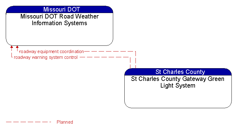
Interface: Missouri DOT Road Weather Information Systems - St Charles County Gateway Green Light System
Architecture Flow Definitions
roadway equipment coordination (Planned)
The direct flow of information between field equipment. This includes transfer of information between sensors and driver information systems (e.g., DMS, HAR, variable speed limit signs, dynamic lane signs) or control devices (e.g., traffic signals, ramp meters), direct coordination between adjacent control devices, interfaces between detection and warning or alarm systems, and any other direct communications between field equipment.
roadway warning system control (Planned) Applicable ITS Standards
Information used to configure and control roadway warning systems.