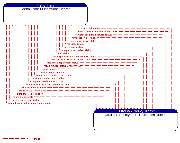
Interface: Metro Transit Operations Center - Madison County Transit Dispatch Center
Architecture Flow Definitions
alert notification (Planned)
Notification of a major emergency such as a natural or man–made disaster, civil emergency, or child abduction for distribution to the public. The flow identifies the alert originator, the nature of the emergency, the geographic area affected by the emergency, the effective time period, and information and instructions necessary for the public to respond to the alert. This flow may also identify specific information that should not be released to the public.
alert status (Planned)
Information indicating the current status of the emergency alert including identification of the traveler and driver information systems that are being used to provide the alert.
emergency plan coordination (Planned)
Information that supports coordination of emergency management plans, continuity of operations plans, emergency response and recovery plans, evacuation plans, and other emergency plans between agencies. This includes general plans that are coordinated prior to an incident and shorter duration tactical plans that are prepared during an incident.
emergency traffic control information (Planned)
Status of a special traffic control strategy or system activation implemented in response to an emergency traffic control request, a request for emergency access routes, a request for evacuation, a request to activate closure systems, a request to employ driver information systems to support public safety objectives, or other special requests. Identifies the selected traffic control strategy and system control status.
emergency traffic control request (Planned)
Special request to preempt the current traffic control strategy in effect at one or more signalized intersections or highway segments, activate traffic control and closure systems such as gates and barriers, activate safeguard systems, or use driver information systems. For example, this flow can request all signals to red–flash, request a progression of traffic control preemptions along an emergency vehicle route, request a specific evacuation traffic control plan, request activation of a road closure barrier system, or place a public safety or emergency–related message on a dynamic message sign.
emergency traffic coordination (Planned)
Coordination supporting disaster response including evacuation and reentry. Includes coordination of special traffic control strategies that support efficient evacuation and reentry while protecting and optimizing movement of response vehicles and other resources responding to the emergency.
emergency transit schedule information (Planned)
Information on transit schedule and service changes that adapt the service to better meet needs of responders and the general public in an emergency situation, including special service schedules supporting evacuation.
emergency transit service request (Planned)
Request to modify transit service and fare schedules to address emergencies, including requests for transit services to evacuate people from and/or deploy response agency personnel to an emergency scene. The request may poll for resource availability or request pre–staging, staging, or immediate dispatch of transit resources.
emergency transit service response (Planned)
Response indicating changes to transit service, fares, and/or restrictions that will be made and status of transit resources to be deployed to support emergency response and/or evacuation.
evacuation information (Planned)
Evacuation instructions and information including evacuation zones, evacuation times, and reentry times.
incident information (Planned)
Notification of existence of incident and expected severity, location, time and nature of incident. As additional information is gathered and the incident evolves, updated incident information is provided. Incidents include any event that impacts transportation system operation ranging from routine incidents (e.g., disabled vehicle at the side of the road) through large–scale natural or human–caused disasters that involve loss of life, injuries, extensive property damage, and multi–jurisdictional response. This also includes special events, closures, and other planned events that may impact the transportation system.
incident response status (Planned)
Status of the current incident response including a summary of incident status and its impact on the transportation system, traffic management strategies implemented at the site (e.g., closures, diversions, traffic signal control overrides), and current and planned response activities.
resource deployment status (Planned)
Status of resource deployment identifying the resources (vehicles, equipment, materials, and personnel) available and their current status. General resource inventory information and specific status of deployed resources may be included.
resource request (Planned)
A request for resources to implement special traffic control measures, assist in clean up, verify an incident, etc. The request may poll for resource availability or request pre–staging, staging, or immediate deployment of resources. Resources may be explicitly requested or a service may be requested and the specific resource deployment may be determined by the responding agency.
road network conditions (Planned)
Current and forecasted traffic information, road and weather conditions, and other road network status. Either raw data, processed data, or some combination of both may be provided by this flow. Information on diversions and alternate routes, closures, and special traffic restrictions (lane/shoulder use, weight restrictions, width restrictions, HOV requirements) in effect is included.
road network status assessment (Planned)
Assessment of damage sustained by the road network including location and extent of the damage, estimate of remaining capacity, required closures, alternate routes, necessary restrictions, and time frame for repair and recovery.
threat information (Planned)
Threats regarding transportation infrastructure, facilities, or systems detected by a variety of methods (sensors, surveillance, threat analysis of advisories from outside agencies, etc.
traffic images (Planned)
High fidelity, real–time traffic images suitable for surveillance monitoring by the operator or for use in machine vision applications. This flow includes the images and meta data that describes the images.
transit emergency data (Planned)
Initial notification of transit emergency at a transit stop or on transit vehicles and further coordination as additional details become available and the response is coordinated.
transit fare coordination (Planned) Applicable ITS Standards
Fare and pricing information shared between local/regional transit organizations.
transit probe data (Planned)
Aggregate probe data derived from tracking transit vehicles. Data collected could include transit vehicle speeds and travel times for a given link or collection of links.
transit service coordination (Planned) Applicable ITS Standards
Schedule coordination or AVL information shared between local/regional transit organizations. This includes coordination of connections between transit properties.
transit system status assessment (Planned)
Assessment of damage sustained by the public transportation system including location and extent of the damage, current operational status including an estimate of remaining capacity and necessary restrictions, and time frame for repair and recovery.
transit traveler information coordination (Planned) Applicable ITS Standards
Transit schedules, real–time arrival information, fare schedules, and general transit service information shared between transit organizations to support transit traveler information systems.
transportation system status (Planned)
Current status and condition of transportation infrastructure (e.g., tunnels, bridges, interchanges, TMC offices, maintenance facilities). In case of disaster or major incident, this flow provides an assessment of damage sustained by the surface transportation system including location and extent of the damage, estimate of remaining capacity and necessary restrictions, and time frame for repair and recovery.