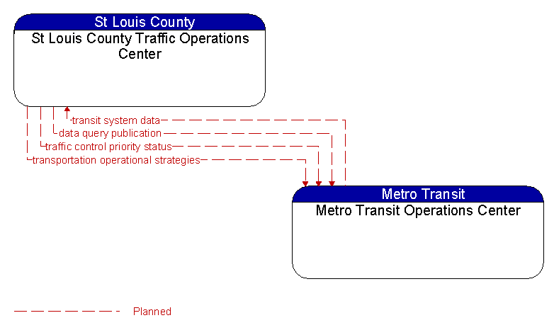
Interface: St Louis County Traffic Operations Center - Metro Transit Operations Center
Architecture Flow Definitions
data query publication (Planned) Applicable ITS Standards
Data query publication includes those dialogs necessary to satisfy the response portion of a query–response action using the data distribution architecture. The information content varies widely based on available content and the query, but it generally includes information on the state of transportation system operations including traffic and road conditions, advisories, incidents, transit service information, weather information, parking information, and other related data.
traffic control priority status (Planned) Applicable ITS Standards
Status of signal priority request functions at the roadside (e.g., enabled or disabled).
transit system data (Planned) Applicable ITS Standards
Current transit system operations information indicating current transit routes, the level of service on each route, and the progress of individual vehicles along their routes for use in forecasting demand and estimating current transportation network performance.
transportation operational strategies (Planned) Applicable ITS Standards
Operational strategies for each operating agency in a transportation corridor, downtown area, or other travel–impacted area, providing an integrated operations strategy for the freeways, tollways, arterials, transit services, parking facilities, and other transportation–related facilities in the area. These strategies can include dynamic adjustments to transit fares and tolls, parking fees and restrictions, dynamic lane restriction changes, and other active demand management strategies.